The river that connects 5 countries
|
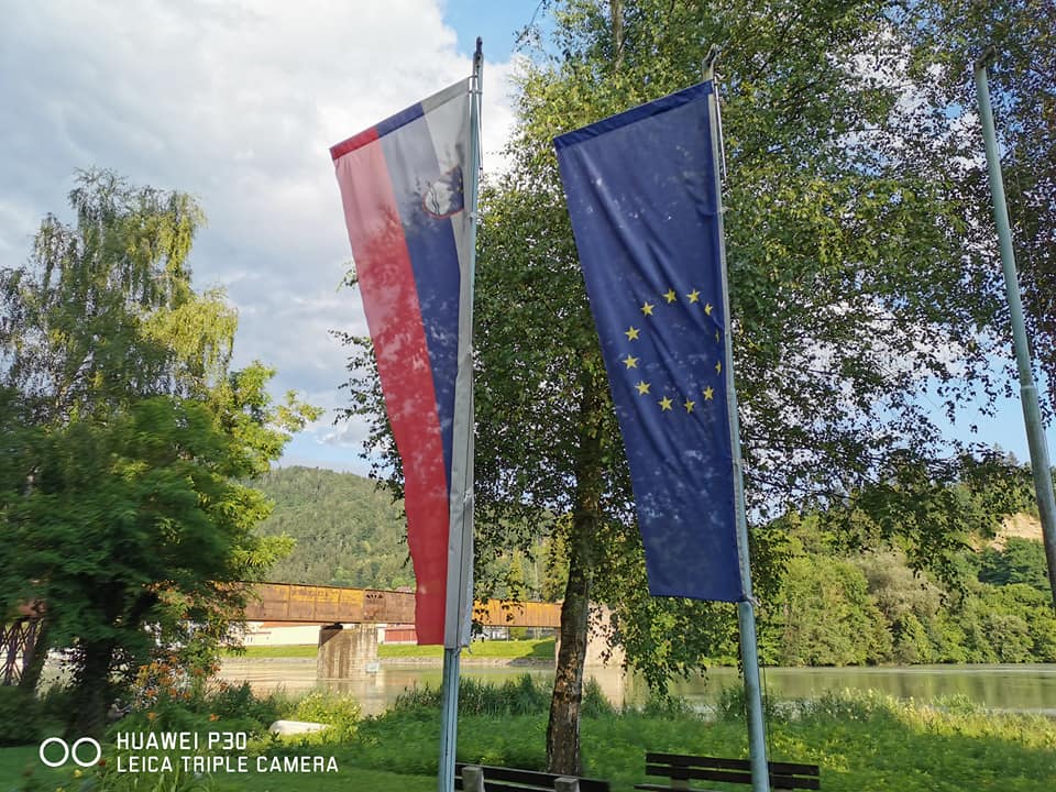
The Drava River (or Drau in German) connects 5 different countries.
The source of the river is in Italy, after about 10 km crosses into Austria, then flows into Slovenia and Croatia. It articulates the border between Hungary and Croatia and finally flows into Danube (Donava) on the border between Croatia and Serbia. The Drava River is the fourth largest, as well as the fourth longest Danube tributary. It connects the Alps with the Danube and the Black Sea. According to etymologists, the name of the river is of a pan-Slavic origin, having developed from the Indo-European word "dreu", which means to run, to hasten. In ancient sources, the river is called Dravus, and Drauva or Trauum in later sources. The older German forms of the river's name (Tra, Trau) and the current German name (Drau) originate from its Slovenian name.
|
|
|
Country
Italy Austria Austria-Slovenia (border) Slovenia Slovenia-Croatia (border) Croatia Croatia-Hungary (border) Total |
Length (km)
10.6 254.7 4.2 117.7 23.3 166.4 133 709.9 |
Length (miles)
6.6 158.3 2.6 73.1 14.5 103.4 82.6 441.1 |
Drava River rises in the Sexten Dolomites between Dobbiaco (Toblach) and San Candido (Innichen), in Italy, at 1450 meters above sea level, and flows eastward through the Austrian federal states of Tirol and Kärnten, where it forms the Drautal, the longest longitudinal valley of the Alps. From there it flows southeastward through Slovenia. Then it passes through Croatia and the southern Hungarian border and joins the Danube River near the town of Osijek at 90 meters above sea level, where it is 320 meters wide. Its slope from spring to outfall is 1360 meters.
The Drava River is a typical fluvio-glacial river, which means that its highest flow is in July during the melting of glaciers, while the majority of other rivers are already showing signs of summer drought. Its other high point is attained in November, when it is filled by autumn rainfall from the wide Alpine hinterland.
The Drava River is a typical fluvio-glacial river, which means that its highest flow is in July during the melting of glaciers, while the majority of other rivers are already showing signs of summer drought. Its other high point is attained in November, when it is filled by autumn rainfall from the wide Alpine hinterland.
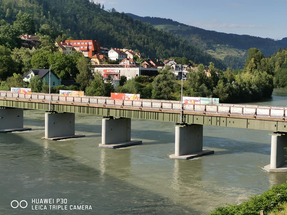
The originally swift course of the Drava has been harnessed by hydroelectric power plants in Austria, Slovenia, and Croatia. It is navigable only by small boats in its upper reaches and by larger craft downstream from Donji Miholjac, Croatia. The Drava valley was the chief passage through which invaders from the east, such as the Huns and Slavs, penetrated the Alpine countries. The main towns of the Drava and its affluents are Klagenfurt and Graz in Austria, Maribor and Ptuj in Slovenia, and Varaždin and Osijek in Croatia.
|
|
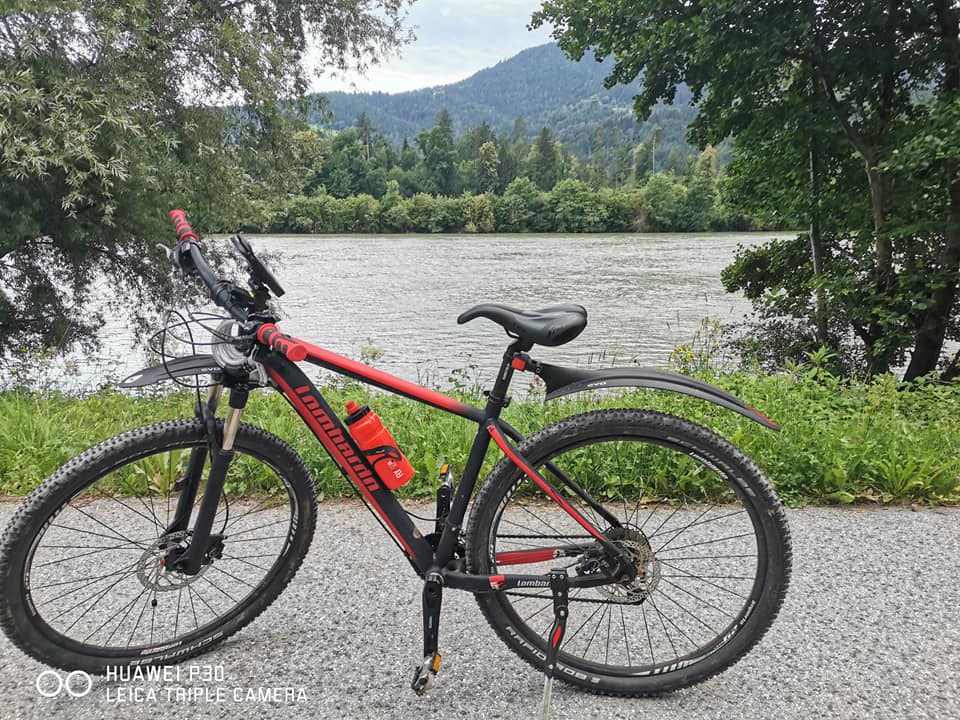
My Biking Stages
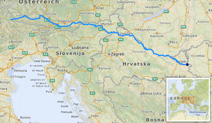
Day 1: Toblach - Lienz (49 km / 30. mi)
Day 2: Lienz - Spittal-Villach (116km / 72 mi)
Day 3: Villach - Ferlach - Dravograd (118 km / 74 mi)
Day 4: Dravograd - Maribor (80 km / 50 mi)
Day 5: Maribor - Varazdin (86 km / 54 mi)
Day 6; Varazdin - Vitrovica (128 km / 80 mi)
Day 7: Vitrovica - Osijek (124 km / 77 mi)
Day 8: Osijek - Donava (36 km / 22 mi)
Additional Resources
http://www.see-river.net/about-river.html
https://www.drauradweg.com/en/
https://www.icpdr.org/main/danube-basin/drava-basin
https://www.dem.si/en/in-harmony-with-the-enviroment/drava-river/
https://frisco-project.eu/en/river-basins/drava/
https://documen.site/download/mjerenje-protoka-vode_pdf
https://www.drauradweg.com/en/
https://www.icpdr.org/main/danube-basin/drava-basin
https://www.dem.si/en/in-harmony-with-the-enviroment/drava-river/
https://frisco-project.eu/en/river-basins/drava/
https://documen.site/download/mjerenje-protoka-vode_pdf
|
|
Created by Veronika Dolar, Ph.D.
|